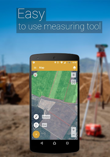
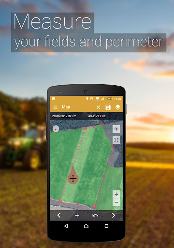
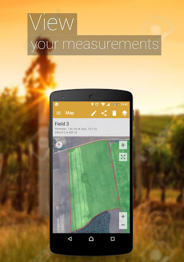
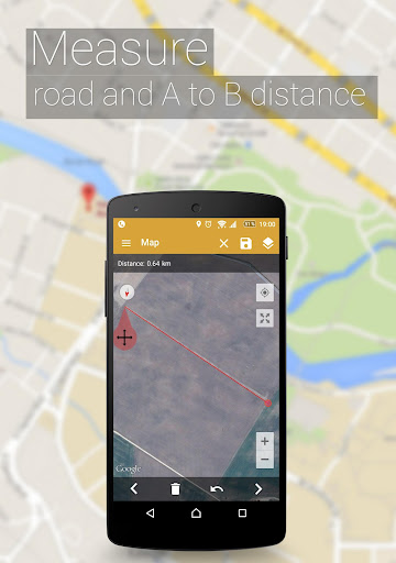
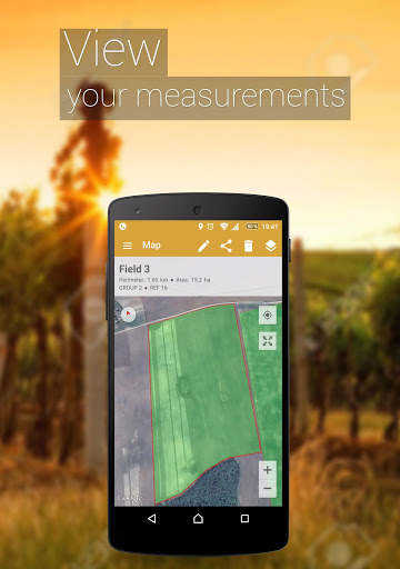
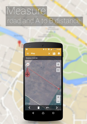
Easy to use, useful app for an area, distance and perimeter management.
This tool is helping for million people to measure their fields, mark their needed points and sharing their measured maps with their colleagues.
Don't waste your time searching for the best free app to measure area, distance and perimeter - choose our app and simplify the measuring process!
UNIQUE FEATURES:
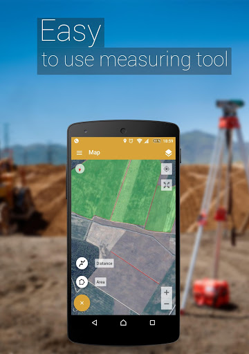
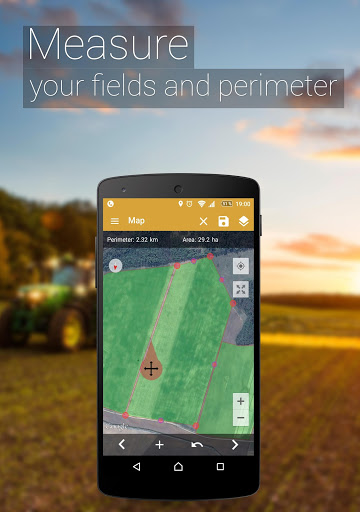
➜ Fast area/distance marking
➜ Smart Marker Mode for very accurate pin placement
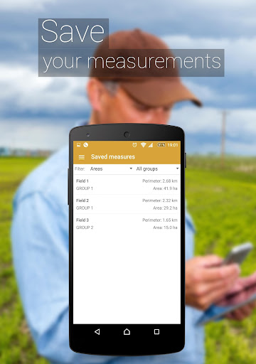
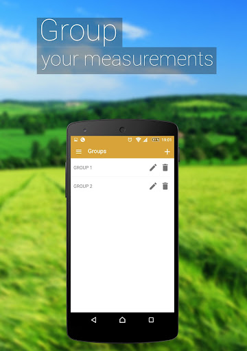
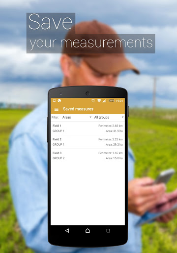
➜ Name, save, group and edit measurements
➜ “Undo” button for all actions
➜ GPS tracking/Auto measure for walking/driving around specific boundaries
It also includes a feature to send an auto-generated link to your friends or partners of pinned/selected area, direction or route – displays the area you want to share.
A feature to add the point of interest or POI on the field helps to avoid stones, mark fences or boundaries of paddocks, graze territories for dairy cows, cattle, beef and other livestock.
In need for more advanced versions?:
❖ PRO version
https://goo.gl/Gh5Jp6
❖ Ad-free version
https://goo.gl/S0u7f1
Try out our other apps for farmers:
❖ Field Navigator
https://goo.gl/hZBnJI
❖ AgroBASE
https://goo.gl/1v0bFt
❖ Soil Sampler
https://goo.gl/6vHwrF
❖ Commodity Spy
https://goo.gl/1f72jm
❖ Calcagro
https://goo.gl/a1jKeM
Disclaimer: Subscription is not included in ad-free or PRO versions, it is an additional feature obtained by an in-app purchase. The mentioned versions influence and expand functionality.
* The app perfectly works with a GARMIN GLO and GARMIN GLO 2 external GPS antennas.
Download it and start measuring your fields today!
GPS Field Area Measure is also useful as a map measurement tool for outdoor activities, range finder applications and sports such as biking or marathon. Comes in handy when exploring golf area or as a golf distance meter, convenient for land surveys, practical for field pasture area measure, helpful in garden and farm work or planning, great to keep area records. It’s great for constructions and agricultural fencing. This application is practical even for solar panel installation, roof area estimation or trip planning.
Our measuring app has the highest accuracy in the market, that being the main reason why we’re the leading measuring app among construction sites, building and farm contractors and farmers.
Among our users are people constructing roofs, buildings and roads, farm owners who are spraying, fertilizing, seeding, harvesting farms or tilling. It’s helpful for biking, traveling or planning trips. For growing gardens and paddock, grass or lawn – we are the number one choice.
Including people who are farming beef, pork, or poultry – the application comes in handy for fence measuring and planning. Pilots can also use this app while flying in the fields. Farm managers and contractors who are exploiting agricultural work for farmers can use this app to count the amount of planted fields and share them with the owner. The fields are displayed in Google Maps.
It's a great tool for paddock calculation and measuring.
This is the best solution for farm owners who grow wheat, corn, rapeseed, maize, sugar beet and need to measure the planted area annually.
All in all, it is useful for:
- Farmers, for farm management
- Agronomists
- Town planners
- Construction surveyor
- Landscape artists
- Land based surveys
- Land record management
- Construction surveys
- Health, Education and facilities mapping
- Farm fencing
- Sports track measurement
- Construction sites and building sites area
- Asset mapping
- Landscape design
- GIS, ArcGIS, ArcMap
Added list display options in measures list
Added more sorting options in measures list
Added ability to multi-select fields with dragging gesture
Improved field splinting
Other minor improvements
added map multi select
minor fixes
minor fixes
fixed crash occurring when user has a large amount of POI's created.
Fixed crash when user with expired session purchases subscription.
Re-added compass.
Fixed many stability issues;
Fixed POI GPS mode to show correct initial location;
Added ability to turn off Measurements clustering in map;
Reduced size of Measurements clustering icons.
Fixed many stability issues;
Fixed POI GPS mode to show correct initial location;
Added ability to turn off Measurements clustering in map;
Reduced size of Measurements clustering icons.
Minor bug fixes
Added account deletion in application settings.
minor fixes
minor fixes
minor fixes
added app version information in settings
minor fixes
added some missing translations
3.13.0
Added apple login option
Added email login option
3.13.1
minor Fix of privacy policy agreement dialog
Added dedicated button to close measure info
Major PDF export rework which adds option to add full coordinate list and pictures to the exported document.
Minor fix of unnecessary attention to ad which is shown on app exit confirmation dialog.
Fixed crash after editing POI information
Fixed crash selecting measure on Android 4.x devices.
Fixed other minor issues
Fixed crash when user have connected External Bluetooth GPS receiver and updates from older app version to 3.11.11 or newer.
Other minor fixes regarding promotional content and notifications.
External GPS crash fix on android 12 devices.
External GPS crash fix on android 12 devices.
fixed: Sometimes not loading correct information in side menu purchase dialog.
fixed: purchase button always initiating purchase of one month subscription despite of what is selected
fixed: In measures list line distance is calculated and represented as perimeter.
fixed: GPS measuring poi when at start poi location is empty even though the user location is displayed
Added full screen ad when user launches the app
Added confirmation dialog when user tries to leave the app via android back button or gesture. Dialog it self contains an ad banner.
Fixed UI bug in GPS POI creating mode that prevented from displaying POI coordinates to the user in real time.
Other minor design tweaks
Fixed keyboard covering name input in field export
Added some map optimizations when handling larger amounts of fields.
Removed Banner ad.
minor fixes
fixed photos sharing issue
added button in map to easier attach photo to measurement
added button in navigation menu to purchase premium easier.
changed photo add rule. Now you can add photos to 3 measurements for free (Sharing photos still needs cloud synchronization thus premium subscription)
changed ad banner display logic to prevent accidental clicks on banner.
Should fix most GPS related problems
Added link to privacy policy in login screen
added additional export/share formats
added support for USB external devices
fixed issue that some times caused wrong measure to be focused
fixed issue where after synchronization photos failed to load.
Fixed not working camera button on android 11
Fixed not working navigate button when selected measure
Added extra validation for fields, to prevent import of fields without valid coordinates set. Already existing such fields will be removed.
Minor bug fixes.
minor crash fixes
Various fixes for problems including:
KMZ export bug that caused invalid kmz file to be generated.
Crash if selected measurement is removed from web or another device.
Added possibility to import from download link. Opening KML/KMZ file from messenger is now possible.
Added round and adaptive launcher icons to look properly on more devices.
Changed "My location" button in order to fix the issue when app crashed to a low percent of users trying to zoom in to their location.
Fixed KML, KMZ export when Distances and POIs were exported incorrectly.
Added filter for measurements without group;
Added email label in side menu;
Fixed issue which caused measures search to not work properly in map;
Fixed few issues that were causing crashes.
3.9.0
Changed file selection to comply with restrictions starting with android 10;
Fixed failure to read kml/kmz file that contains measurement with no coordinates;
Fixed failure to read kml/kmz file that contains MultiGeometry;
PDF export - now exporting measurements to single file for all measurements instead of file per measurement;
PDF export - optimized field image size thus reducing size of PDF file.
Improved measure thumbnail generation
3.9.1
various bug fixes
Improved clarification in Premium subscription window;
Fixed crash when user has field or distance where all of it's vertices are exact same coordinate;
Other bug fixes.
Fixed address search
Internal address search logic update.
Address search is now free.
Version 3.8.1
NEW FEATURE
Now we allowing attach photos to measurements. It will extend possibilities for whom who is doing scouting, property managing, engineering and other activity where the photo is necessary
IMPROVEMENT
-Changed title limitations. Now users can create longer names for measurements
-Extended group functionality. Now clicking on the group users will see all groups measurements
-Now users can use multi-select in the fields list
COMING SOON
-Sharing measurements with photos
Version 3.6.11
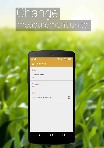
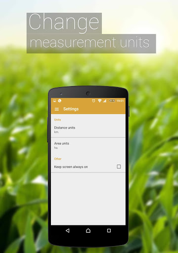
Changed units settings. To support both automatic and manual unit selection for distance/area. Now you can choose which units should be used when displaying values.
Minor changes on usability issues and user interface.

